

Crisis Mapping: The Technology of Managing World Crises
-

- Last Updated: October 1, 2021
During the middle of the night in Abbottabad, Pakistan, a small coffee shop owner heard the persistent beating wings of helicopters over the city and began live tweeting, providing the foundation for crisis mapping. His tweets read, “Helicopter hovering above Abottabad at 1 a.m. (is a rare event)” and “Since Taliban probably doesn’t have helicopters, and since they’re saying it was not ‘ours,’ it must be a complicated situation #abbottabad.” Little did this man know, he was covering the raid of Osama Bin Laden’s compound live.
Crisis Mapping and The Power of the Crowd
Through technological advancements, affordability of technology and social media the globe has woven an interconnected web. In more instances than one, individuals and masses of people have been involved in high profile situations, like the man tweeting from Abbottabad, who was broadcasting occurring events before the news had the opportunity to weigh in.
Similarly, during the chase for the Boston marathon bomber, millions of people tuned in to the police scanner to follow this man-hunt. While listening to police reports, the masses began tweeting what was heard, keeping the entire world up to date on the whereabouts of Boston authorities and the prime suspect.
What do these instances have in common? The power of the crowd.
In each situation, the actual people involved had the ability to relay the news to the world with a single tweet. In both cases, the individuals reporting the incidents had the power to notifiy the masses and get them involved sooner. The release of information is almost impossible to manage, however there is now a way to collect this data and sort through the relevant pieces.
Crisis Mappers Identify Those in Need
Founded by Dr. Patrick Meier and Dr. Jen Ziemke, Crisis Mappers gathers, displays, and analyzes data in an ongoing crisis. The ultimate goal is to process and produce material that would be of value during this time. Crisis mapping permits a crowd to participate in the contribution of information and data remotely off site. They then sift through the information presented to find the most pertinent pieces to address.
Dr. Ziemke of John Carroll University, tells MiLLENNiAL that the first major event where Crisis Mappers was utilized was in the 2010 Haitian Earthquake. With a magnitude of 7.0 on the Richter scale, this earthquake killed and injured thousands of people, leaving Port-Au-Prince in a heap of rubble.

Crisis Mappers took to the scene and began mapping the situation. Dr. Ziemke explains, “An SMS number was created and people stuck in their houses, in need of food or shelter, or giving birth to a child, could text this specific number. Then Crisis Mappers would sort through messages and send first responders to those most in need.”
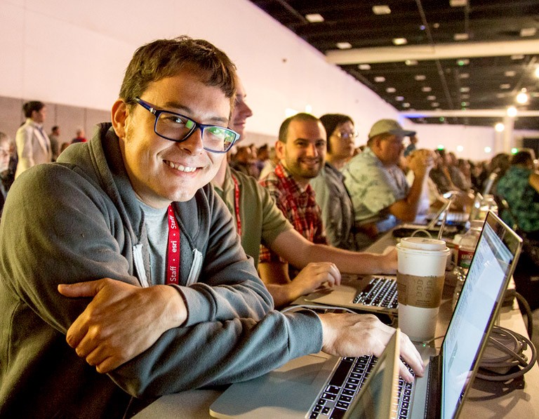
Using all of the techniques for rapid response to complex humanitarian emergencies, Crisis Mappers include mobile and web-based applications, participatory maps, crowdsourced event data, aerial and satellite imagery, geospatial platforms, advanced visualization, live simulation and computational and statistical models among others.
Volunteering to Alleviate Catastrophe
While Crisis Mapping utilizes incredibly accurate data to locate the situation, the mappers themselves are volunteers.
Volunteering as a Crisis Mapper involves geo-tagging, or creating maps with relevant social media information. They can also use Tweet Clicker to sort through relevant tweets at a specific hashtag and analyze what is trending. Crisis Mappers geo-locate news reports, scrape social media for crisis-specific words, and produce geographic data by tracing buildings, roads, or refugee camps.
Dr. Ziemke tells us, “Volunteers can be used for micro tasking. In the Haitian earthquake, people around the world wanted to help but could not physically go to Haiti. So, they translated messages from Haitians speaking Haitian Creole and French so we could then tell responders where to go to help.” Crisis Mappers also tried to use volunteer help for the search of Malaysian Airlines Flight 370.
Anyone with Internet access had the ability to go online, create an account, and sift through live satellite footage of the ocean for wreckage. Individuals could tag items for analysts to examine. The volunteer legwork helped paid researchers and analysts understand the plane debris in hopes of finding the flight.
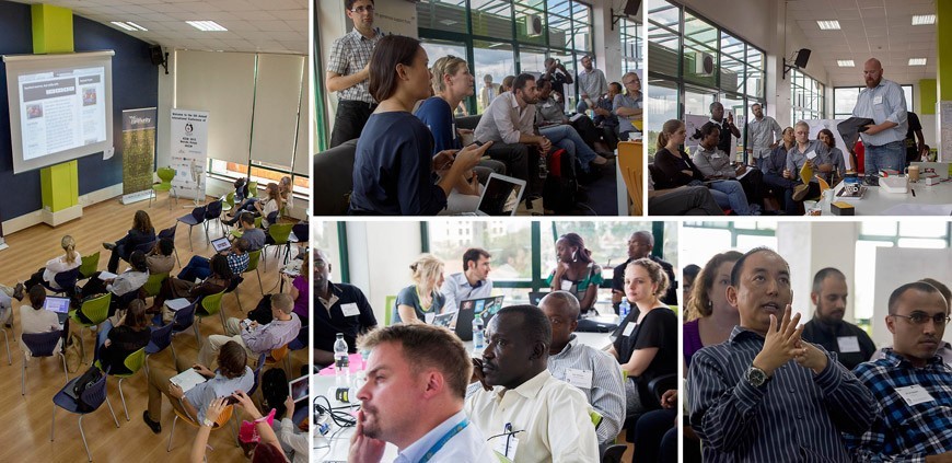
International Conference of Crisis Mappers
Held this past year in New York, The International Network of Crisis Mappers hosted their annual conference where the minds of the best practices, contributions, and deployment of new technology came together in collaboration to discuss the future of the largest most active community of humanitarian technology. Experts, policymakers, technologists, journalists, and skilled hackers engaged in conversations about the benefits and challenges of crisis mapping. This year, ICCM had various keynote speakers that discussed the challenges of mapping, research and knowledge, and mobile and hardware.
Dr. Ziemke says, “Crisis mapping is a way to manage the outpour of data that follows a crisis.” Crisis Mappers engage 17,000 members in 160 countries to build and maintain the largest humanitarian technology forum.
To become a crisis mapper yourself, visit http://crisismappers.net/


